Learn To Read The River
05/03/18
It’s that time of year again. River folk of all ages and disciplines are hitting their phones and computers en masse to watch river levels ebb and flow. Making plans to hit new runs or old favorites at just the level they’re looking for.
When I was new to this game I was lucky enough to live amongst a community of like-minded river folk in the dusty parking lot of a river outfitter mere yards from the banks of the Arkansas River. I remember seasoned guides that could look at how covered or uncovered a certain rock was and guess the flow pretty accurately. Being a rookie, I didn’t have that affinity with the river and I would simply wait for the head boatman to open up the boathouse and write it on the board.
I did find myself wondering where he got these numbers from, so I asked. A few smart-ass remarks later and I learned that the USGS had a website that tracked water all over the country. That was my first step down the rabbit hole of gauges.
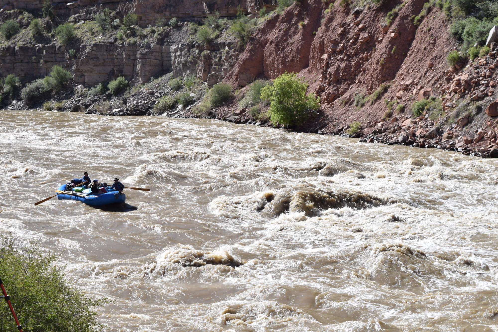
Let’s get a couple of things out the way before we dive in. Here in the states, we refer to river flow in two ways, either cubic feet per second (CFS) or in feet (height). CFS is the most common but some rivers are measured in feet because there is no gauge. They measure the same thing for all intents and purposes and neither one will mean anything to you until you get a sense of what constitutes high or low water on a given run. Which means that in order to really research this topic you must paddle frequently and explore (Yay!).
Also, every river has a different character, is of a different volume, and certain sections of a given river take less water to become runnable than others.
Okay, let’s talk about the info and where to get it. I like to keep things simple and there’s no way I can list all the resources that are actually available here. I am going to stick to two sites that have served me well and include information for the entire country.
Up first is the USGS. Find it here:
https://waterdata.usgs.gov/nwis
This takes us to the National Water Information System homepage. We get several choices here but I really only find myself using two. One is the Current Conditions button. This will probably be your go to. It’s become mine. In Current Conditions, you will find a US map, click on the state in which the river stretch you want to know about resides. You will now be looking at a long list of all the gauges in that state separated by drainage with at a glance flow info on the side. Find the gauge for the stretch you want and click on it for a more detailed look at what’s happening. You’ll be looking at a graph of the last few days of flow at that gauge. You can mess around and look at other parameters here. I like to run the gauge history for previous years and try to predict flows.
The next button on the NWIS homepage that you might use is the one that just looks like a map. Click this button and you will be brought to, of all things, a map. This has all kinds of parameters and metrics you can run. I like things to be simple. When I first started looking at gauges I didn’t always know what the best one was for a given stretch of river. The map allowed me to look at any river and find the stretch I wanted and locate the closest gauge.
There is a crap ton more stuff you can do on USGS but, initially, this is the most useful.
Next up is American Whitewater! The warriors who fight on the behalf of rivers and the champions for boater’s rights in the US. Consider a contribution if it strikes your fancy. Find the site here:
https://www.americanwhitewater.org
You’ll see a bunch of tabs up top. Click on the River Info drop down. Then click National River Database. You’ll be looking at a US map over a list of states. Click on a state on the map or run down the list and find the one you need. From the list, you can choose to see different information. I like Drainage Summary. This will help you understand what rivers flow together to constitute a drainage, which can be key when interpreting flow, or just looking for another cool run nearby. Now you’ll have another list like on USGS but it is organized a little differently and cleverly includes some other metrics. Here’s the magic of the AW site at work. Rivers are organized by drainage and stretch. You don’t need to know the gauge for the stretch. AW has already linked them. As you look at a stretch you will see a ton of info in one glance.
First off, colors! Up top, you will see the color key. Do you care about what is flowing well? Scroll down and only look at Green stretches. These are loosely interpreted optimal flows and you might find you can still boat a run well beyond “Below Recommended” and well past “Above Recommended” but they are great guides to finding the flows you’re after.
Next, you will notice an attempt to classify the difficulty of the run. Again, these are only guidelines but are typically accurate and a great way to see what might be within your abilities that has good flow. You will also see the flow of that stretch. This typically comes straight from USGS and in my experience usually updates within minutes of the USGS gauges. You will also see how much time has elapsed since the last update.
And finally, you can click on the stretch for all sorts of cool info. Not all info is available for all runs but you can see things like recommended levels, gradient, mileage, run descriptions, rapid descriptions, and photos.
Phew, that’s enough of that. I’m going to go back to obsessively checking gauges so I don’t miss out on a paddling opportunity.
As a friendly reminder; don’t be afraid to seek training, choose your gear carefully, choose your paddle partners carefully, know your limits, research runs you’ve never paddled before and try to pack the maximum amount of fun into every paddle! SYOTR!
-Matt Buckley
VP of Operations, Adrift Dinosaur
Hala Gear Team Rider

